Single family homes in San Diego
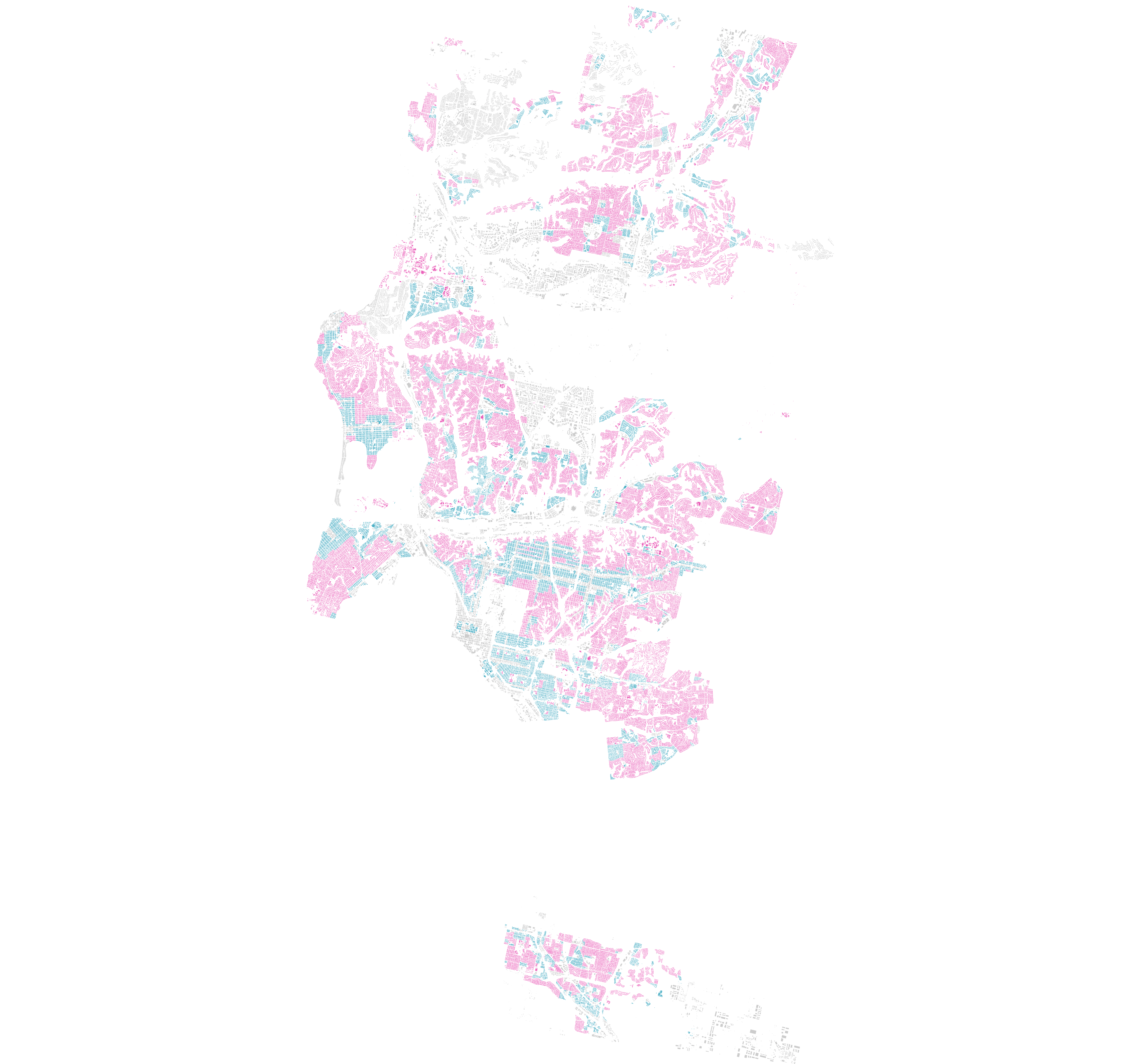
Inspired by this article from the New York Times I wanted to create the same map for San Diego. Since the article did not include San Diego, I thought I can do it.
Residential land zone for detached single-family other housing
As you can see, there are more single-family zones, than other residential areas. I expected that, but there is a lot of space that is not just residential zone. It’s mostly either Agriculture-Residential (AR) or Industrial–Light (IL). I don‘t know too much about the reasons for these zones in San Diego but it‘s fascinating.
Let’s take a look at a few other residential zones.
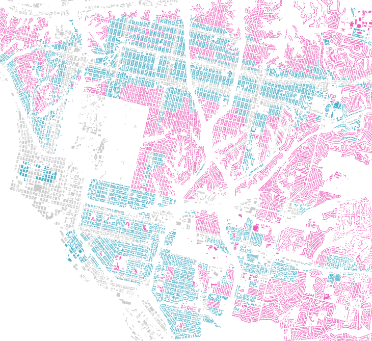
Downtown & North Park
As I would have expected, Downtown, Little Italy, East Village and central North Park all are not zones for single family homes. Which you can see in the way these neighborhoods are built.
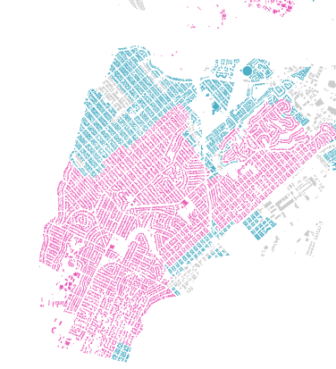
Ocean Beach
Ocean Beach kinda surprised me, I knew that central OB is multi-family zone but the rest I was not aware off.
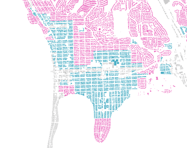
Pacific Beach
Not as surprising as OB but still the amount is a little surprising to me.
I made an interactive version of this as well. You can check it out here, but be aware it is relatively slow due to the amount of buildings. Might update it if there is interest in it.
Methodology
I used open zoning data from the City of San Diego, used the zoning information from the Municipal Code and building data from Microsoft.
I matched those buildings up with the zone they’re in and colored according to the code.
Everything that starts with RS is and is labeled in the municipal code as Residential–Single Unit.
And every other Rx is for all other residential zones.
I will publish another article about the technical implementation soon.


